
This trail description was written by Bill Sherrard in 2009. Most details are still accurate, but keep in mind that foliage and other flora change seasonally and over time, as do trail signs and other manmade accents.
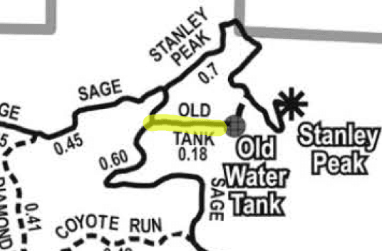
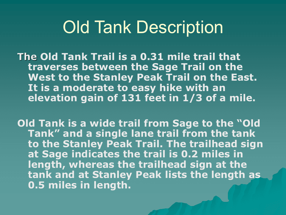
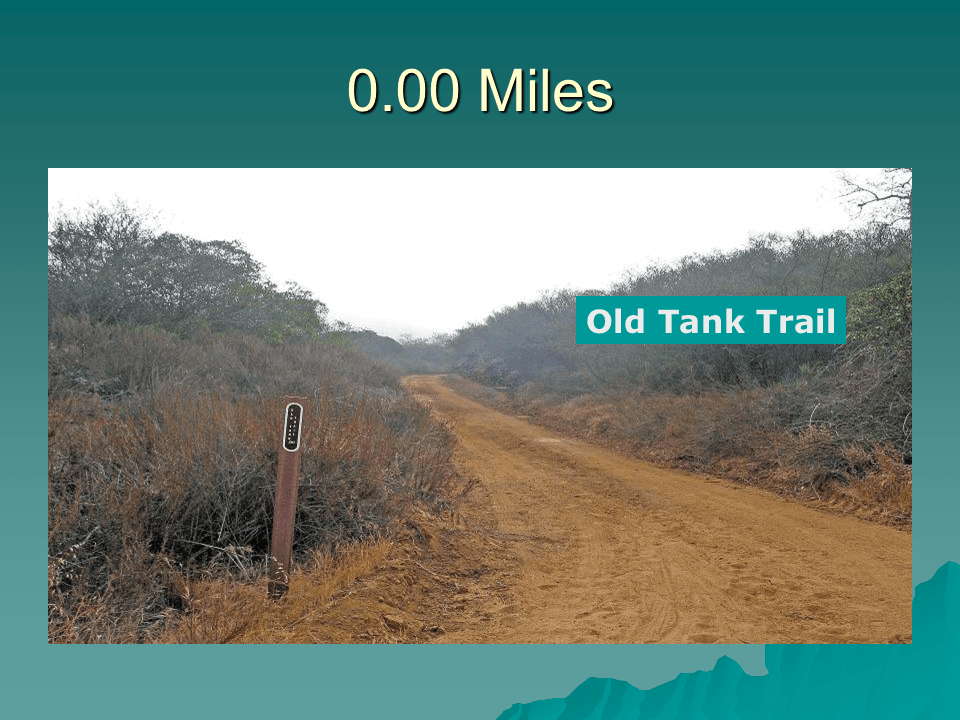
The Old Tank Trail is a short trail that originally went from the Sage Trail up to an old water tank. After Stanley Peak was added to Daley Ranch, the Old Tank Trail was extended from the tank to the Stanley Peak Trail.
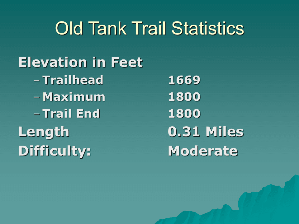
The Old Tank Trail is moderately difficult to hike. It rises from 1,660 feet at the Sage Trail trailhead to 1,800 feet where the trail meets the Stanley Peak Trail. This is a 131 foot elevation increase over the 0.31 mile length of the trail.
Most of the altitude gain is between the trailhead at the Sage Trail and the tank. The altitude gain over the last 0.09 mile section of the trail is merely 37 feet. The maximum altitude is at the trail’s end where it junctions with the Stanley Peak Trail.
Getting to the Old Tank trailhead on the Sage Trail is far more difficult than the hike on the Old Tank Trail. If one approaches the trailhead from the Caballo trailhead parking lot there is an altitude gain of 623 feet over the 1.70 miles between the Humane Society parking lot and the Sage Trail. It is 1.37 miles, with an elevation gain of 398 feet, from the Caballo/Sage Trail junction to the Old Tank trailhead.
An alternate approach to the Old Tank trailhead is via the parking log at the end of La Honda Drive near Dixon Lake. Instead of starting at an altitude of 729 feet, ala the Caballo trailhead, one starts at 1,185 feet. This gives only a 484 foot altitude gain from the trailhead from the Ranch House Road to the Old Tank trailhead. There are a variety of trails one can traverse to get from the Ranch House Road trailhead to the Old Tank trailhead.
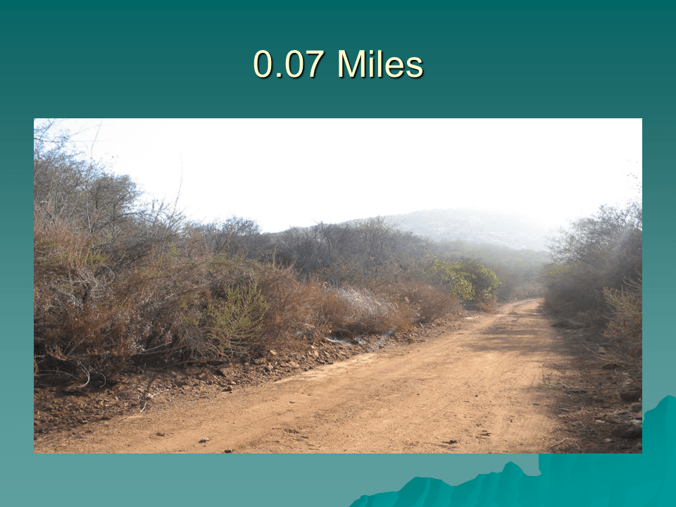
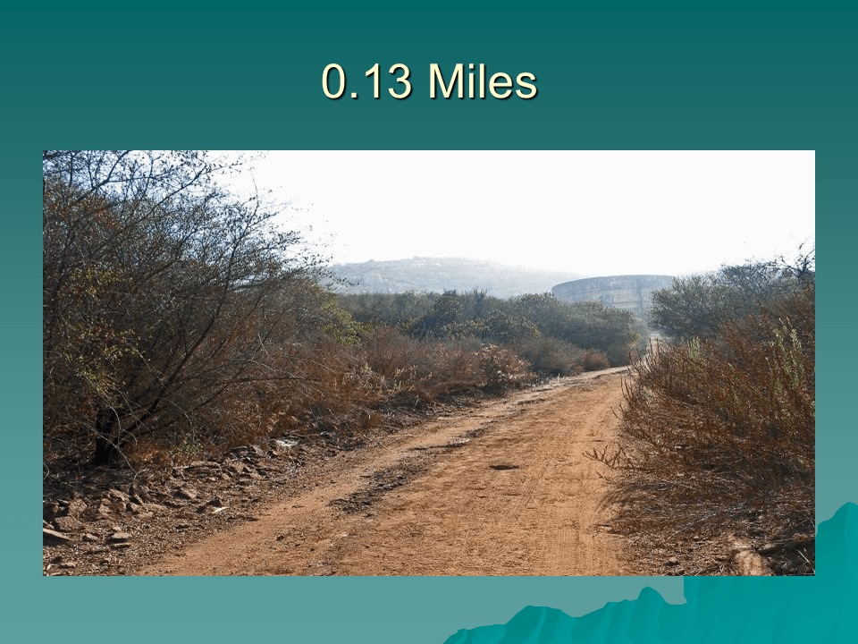
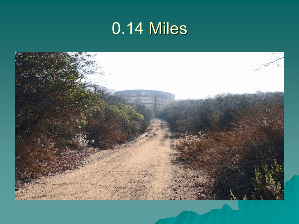
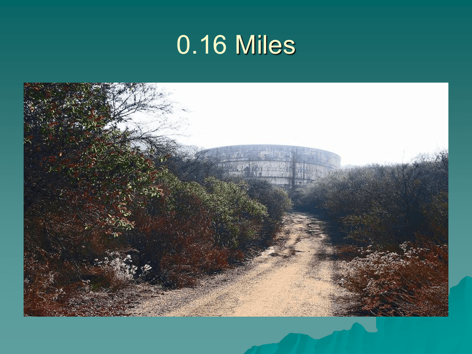
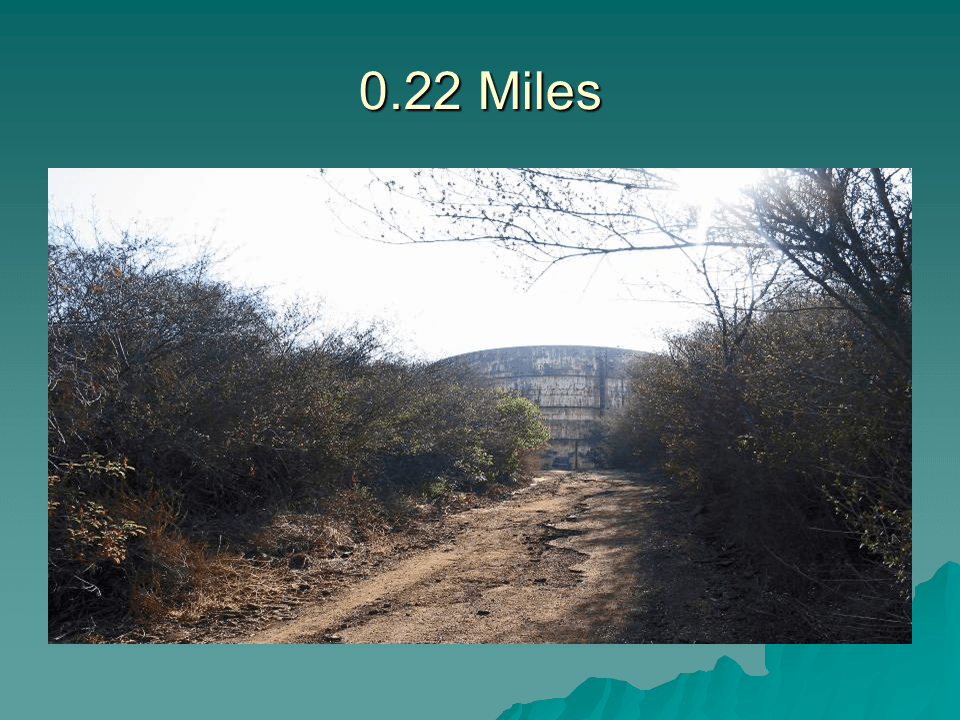
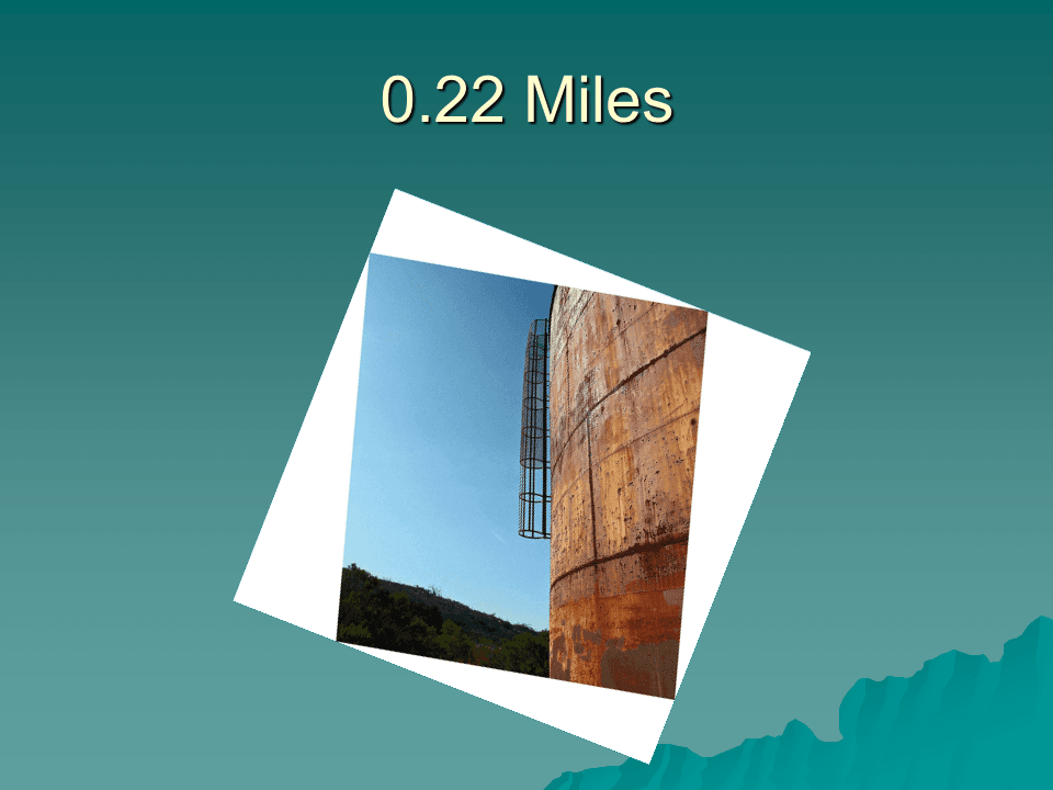
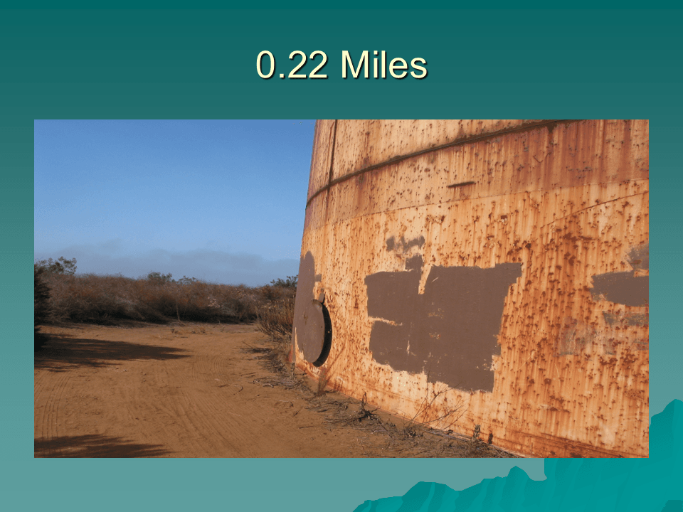
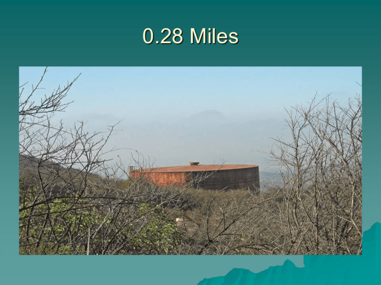
The first 0.22 miles of the hike are down a wide trail up to the “old tank.” Shortly after leaving the trailhead one gets his first glimpse of the tank.
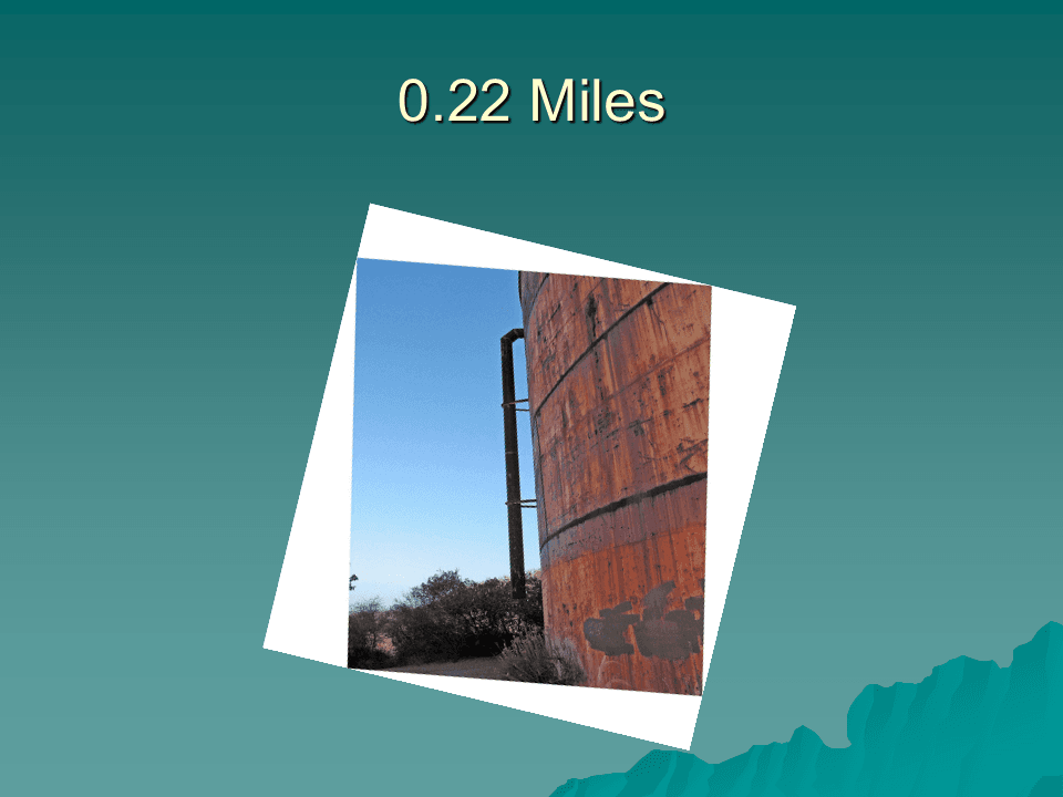
There are two structures emanating from the side of the tank. One is an overflow pipe from the top of the tank to the bottom. This allows water to flow out of the tank should it be overfilled. The second is a ladder leading up the side of the tank. The ladder has a circular structure built around it to prevent a climber from falling off the ladder to the ground. The metal cover over an entrance to the tank has been welded in place. At one time transients and others were using the tank for shelter and welding the cover in place prevents someone from getting hurt climbing in and out of the tank.
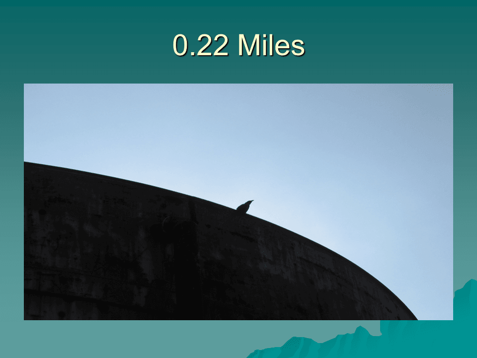
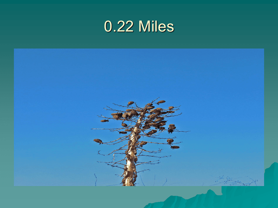
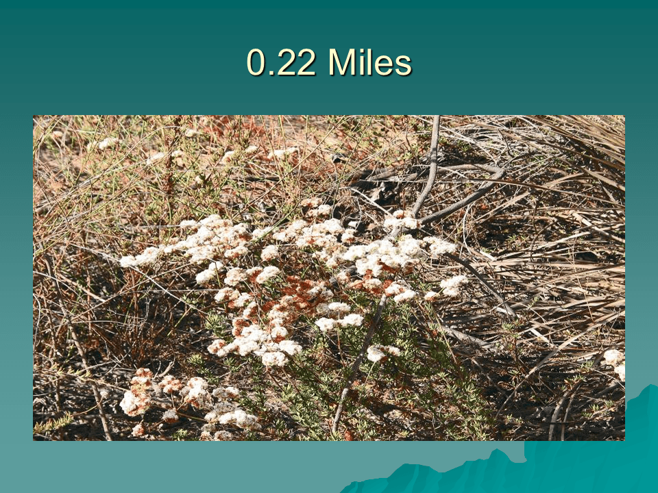
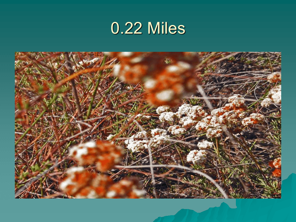
There are plants growing near the base of the tank. At the time I took the hike the Lord’s Candles had matured and their seed pods formed an interesting silhouette against the sky.
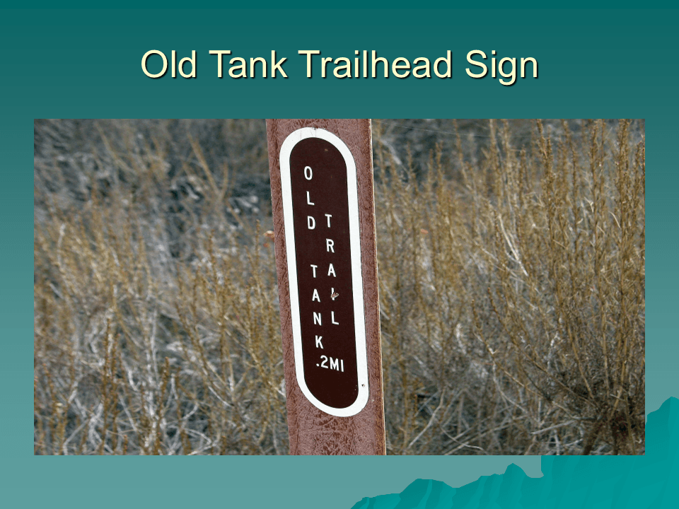
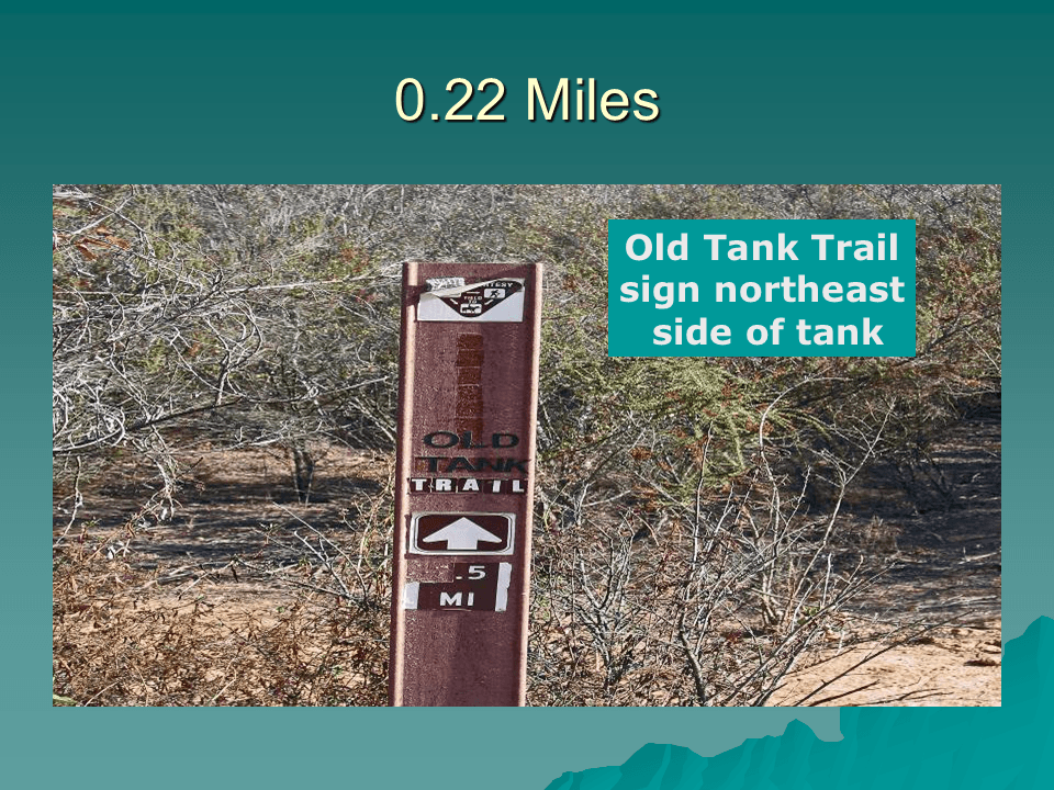
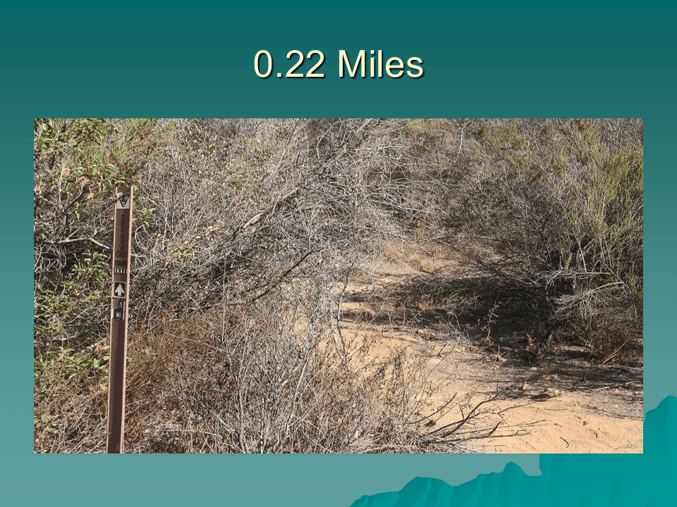
The trail from the tank to the Stanley Peak Trail starts from the northeast side of the tank. The trailhead sign indicates a length of 0.5 mile. It is not clear if the sign is referring to the total length of the Old Tank Trail or just that section of the trail from the tank to the Stanley Peak Trail.
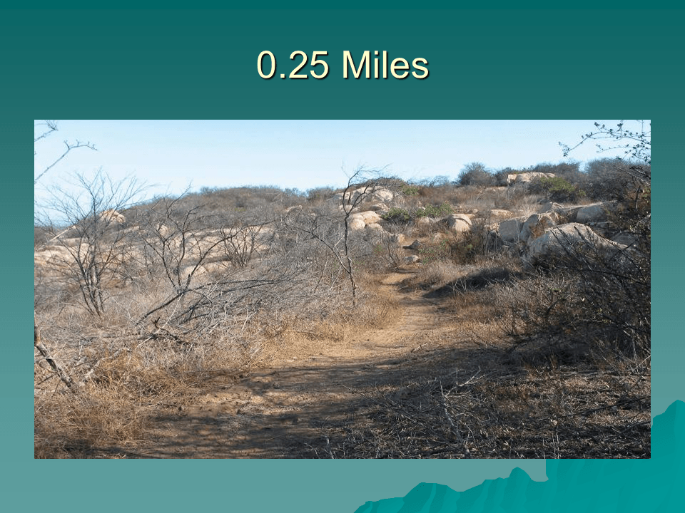
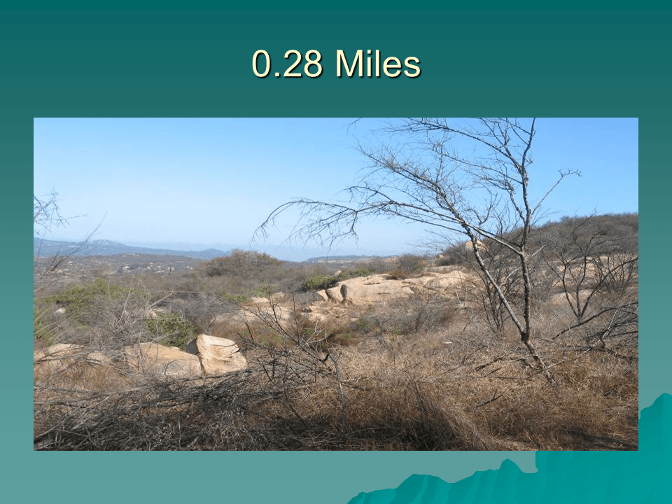
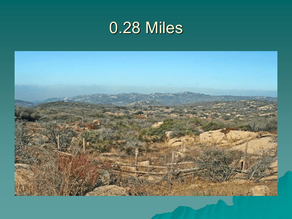
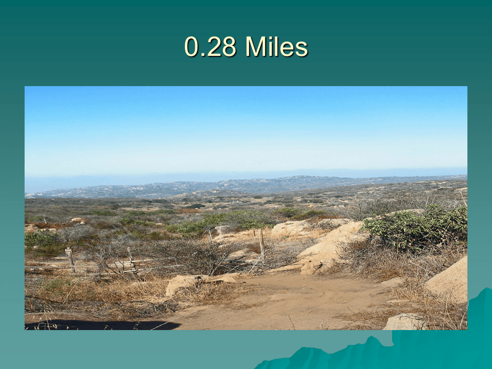
The trail from the tank to the Stanley Peak Trail provides an overview of the park to the west. At one point it looks down on the Sage Trail as it winds from the east side of Daley Ranch to the Ranch House. At another point on the trail the “old tank” is visible to the southwest.
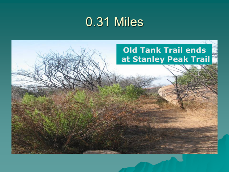
The Old Tank Trail comes to an end where it meets the Stanley Peak Trail. The Stanley Peak Trail has its trailhead at the Sage Trail. The distance to Stanley Peak via the Old Tank Trail is shorter than from the Stanley Peak trailhead at the Sage Trail.
Text and Photos Copyright © 2009 William R. Sherrard. Used with permission