
This trail description was written by Bill Sherrard in 2009. Most details are still accurate, but keep in mind that foliage and other flora change seasonally and over time.
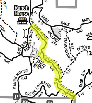
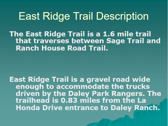
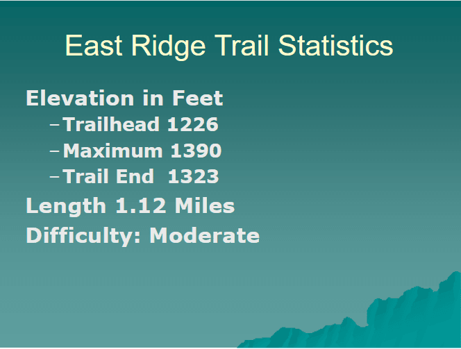
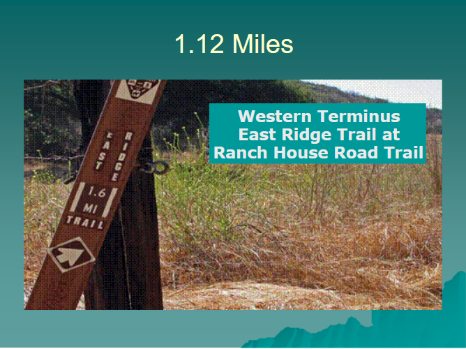
The East Ridge Trail is 1.12 miles in length and traverses between the Sage Trail on the east and the Ranch House Road Trail on the west. It is a moderately difficult hike rising from an altitude of 1,226 feet at the trailhead to 1,390 feet at its highest point.
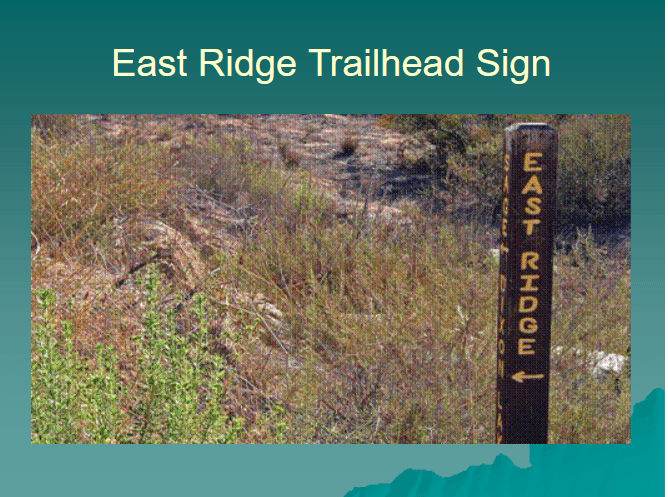
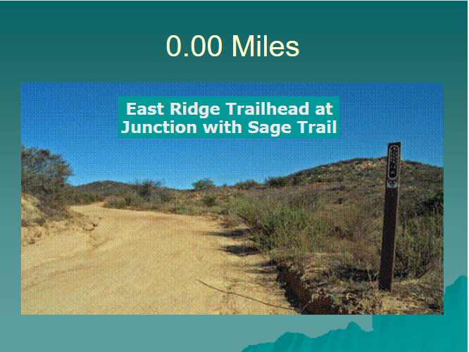
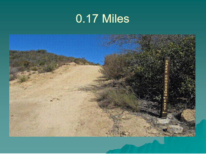
Getting to the trailhead requires a 0.83 mile hike from the entrance to Daley Ranch to the East Ridge trailhead at its junction with the Sage Trail. The first leg of this distance is 0.66 miles on the Creek Crossing Trail to its junction with East Ridge and thence a short distance (0.17 miles) on the East Ridge Trail to the Sage Trail. When we leave the trailhead we will hike from east to west repeating the 0.17 miles we covered getting to the trailhead.
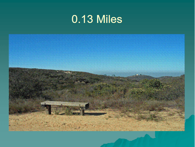
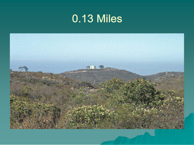
From the East Ridge trailhead one climbs up about 50 feet in the first 0.13 miles to a bench beside the trail. From here one gets a view of an expanse of sage brush and a water tank atop a knoll in the distance.
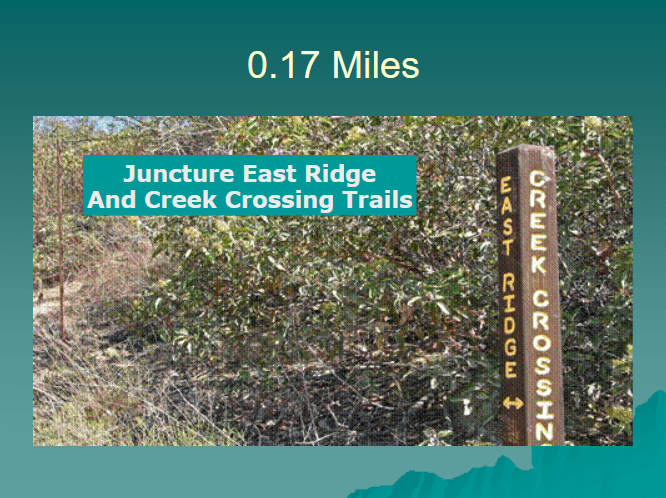
A short distance beyond the bench is the junction of East Ridge and the Cross Creek Trails. We saw this portion of the trail on our hike to the East Ridge trailhead.
At this juncture the Cross Creek Trail branches to the left and follows the southern border of Daley Ranch, whereas the East Ridge Trail branches to the right and continues on to its junction with the Ranch House Road Trail.
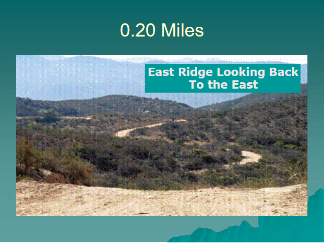
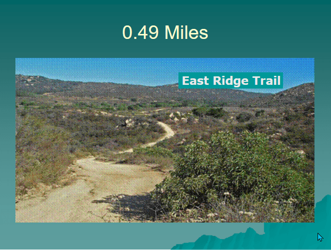
Much of the incline in the East Ridge Trail begins as one leaves the intersection of the Cross Creek and East Ridge Trails. At 0.20 miles an excellent view of the East Ridge Trail can be gotten by looking over ones shoulder. The trail cuts a winding path from here to its trailhead at the Sage Trail.
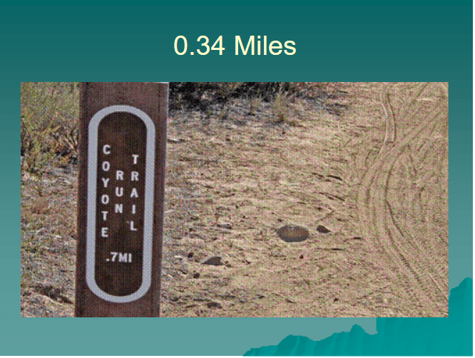
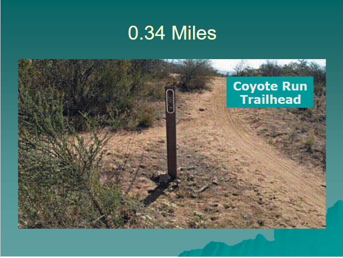
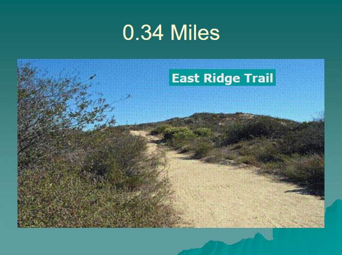
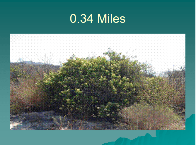
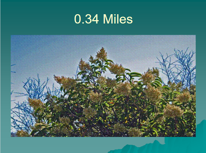
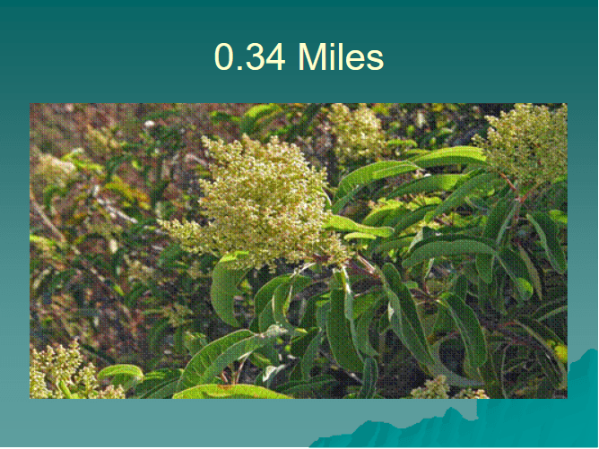
The southern trailhead for the Coyote Run Trail is 0.34 miles from the East Ridge trailhead. It is 0.7 miles in length spanning the distance between East Ridge and the Sage Trail. Along the way the Diamond Back Trail branches off to the left.
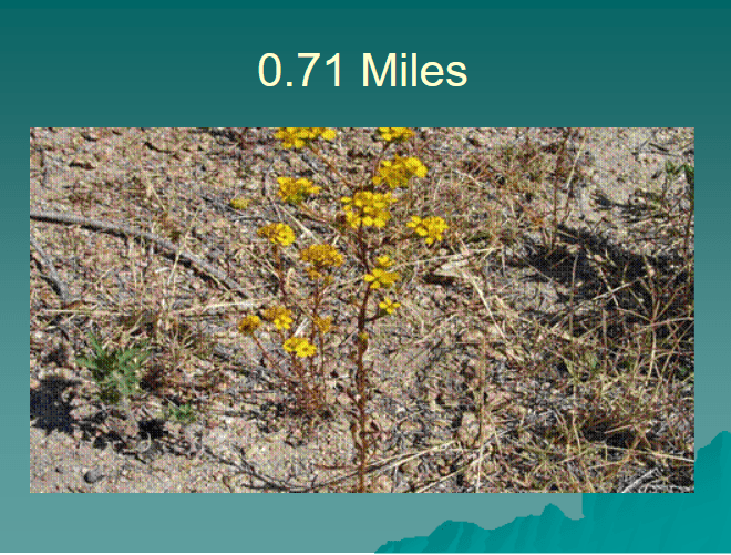
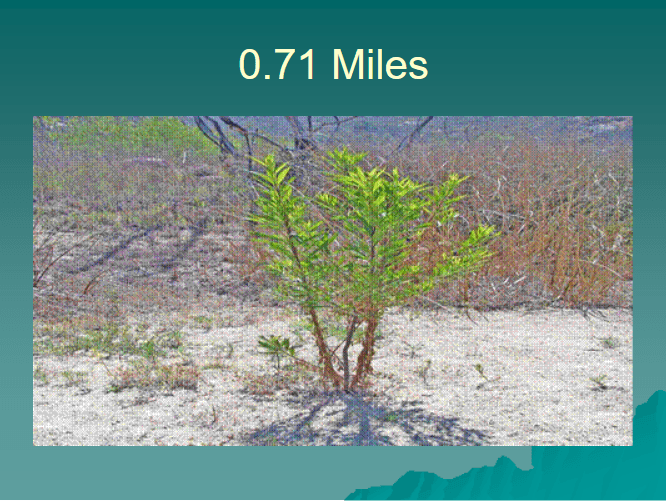
The East Ridge Trail makes a slight incline as it leaves its junction with the Coyote Run Trail. The slides depict one of the flowering bushes along the trail.
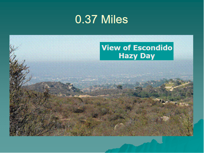
At 0.37 miles by looking left one gets a view of Escondido. The photo shown here was taken on a hazy day.
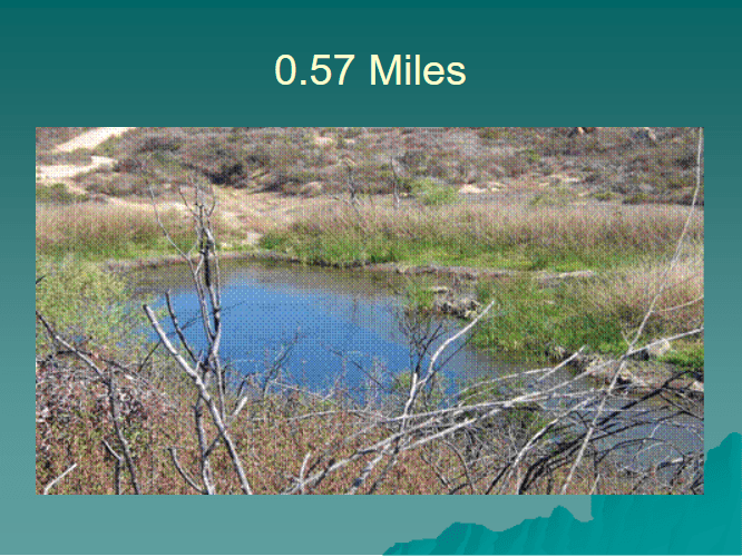
At 0.49 miles the trail starts a decline from the elevation gained since we left the Creek Crossing Trail. At the bottom of this decline is a small pond on the right side of the trail.
At the bottom of this decline is East Pond on the right side of the trail.
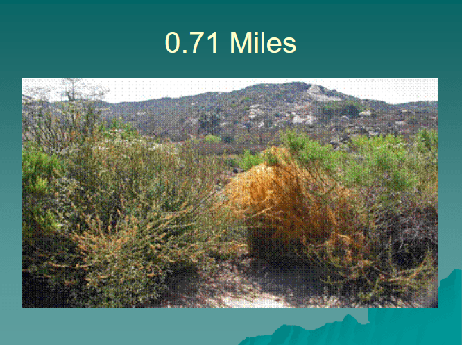
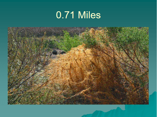
In many instances the plant life along the trail rivals the lake in beauty. The yellow/gold plant shown is called Dodder. It is a parasite living off the plant to which it is attached.
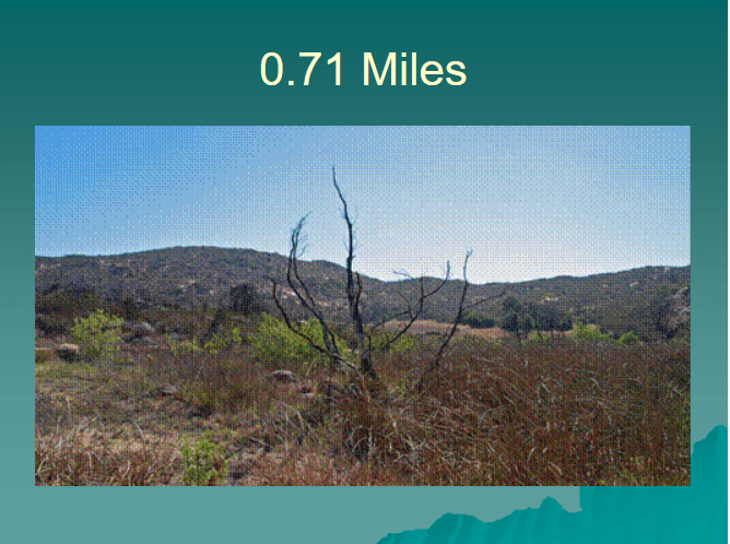
The dead plant life offers a certain beauty. Dead trees and bushes make an excellent silhouette against a blue sky. The silhouette shown here along with the green bush and yellow flower are from the northwestern end of the pond.
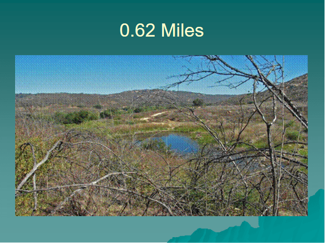
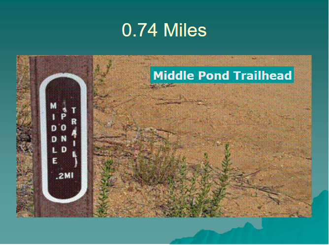
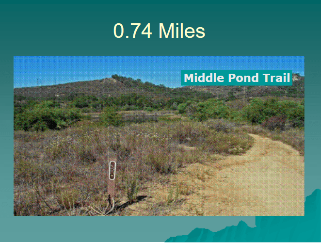
Shortly beyond the East Pond on the right side of the trail is the Middle Pond Trail that takes one along the eastern and southern border of Middle Pond. Middle Pond is much larger than East Pond we have just passed.
Just beyond the Middle Pond trailhead is a large tree along the right side of the trail. It is 0.35 miles from this tree to the end of the trail.
Text and Photos Copyright © 2009 William R. Sherrard. Used with permission