
This trail description was written by Bill Sherrard in 2009. Most details are still accurate, but keep in mind that foliage and other flora change seasonally and over time as do trail signs and other manmade accents.
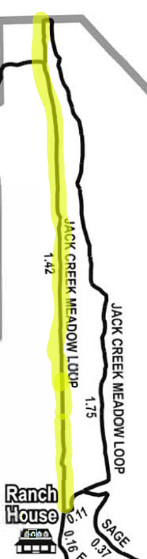
The Jack Creek Meadow Loop Trail is just north of the buildings on the Daley Ranch. The trail follows the east and west sides of Jack Creek, looping back to its trailhead at the southern end of the trail. The trail is 3.27 miles in length with 1.57 miles on the west side of the creek and 1.70 miles on the east side of the creek.
This page covers the west side of the Jack Creek Meadow Loop Trail. The hike originates just north of the Ranch House area utility buildings and goes north along the creek to the boundary of the Ranch.
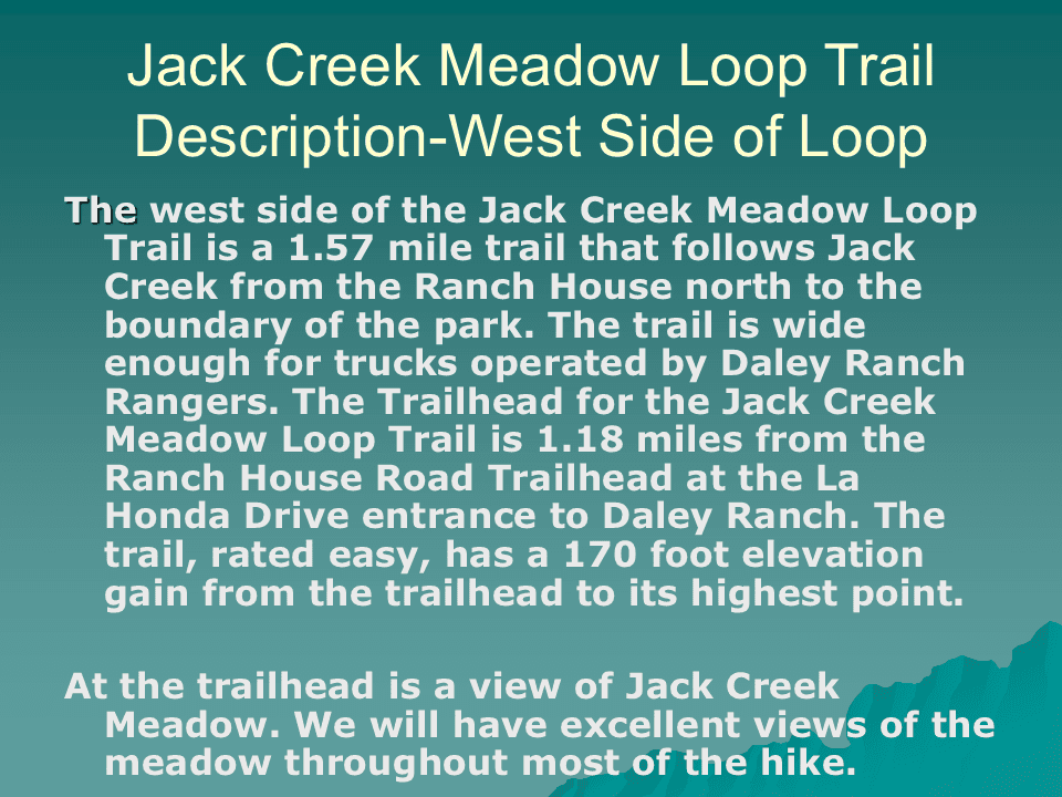
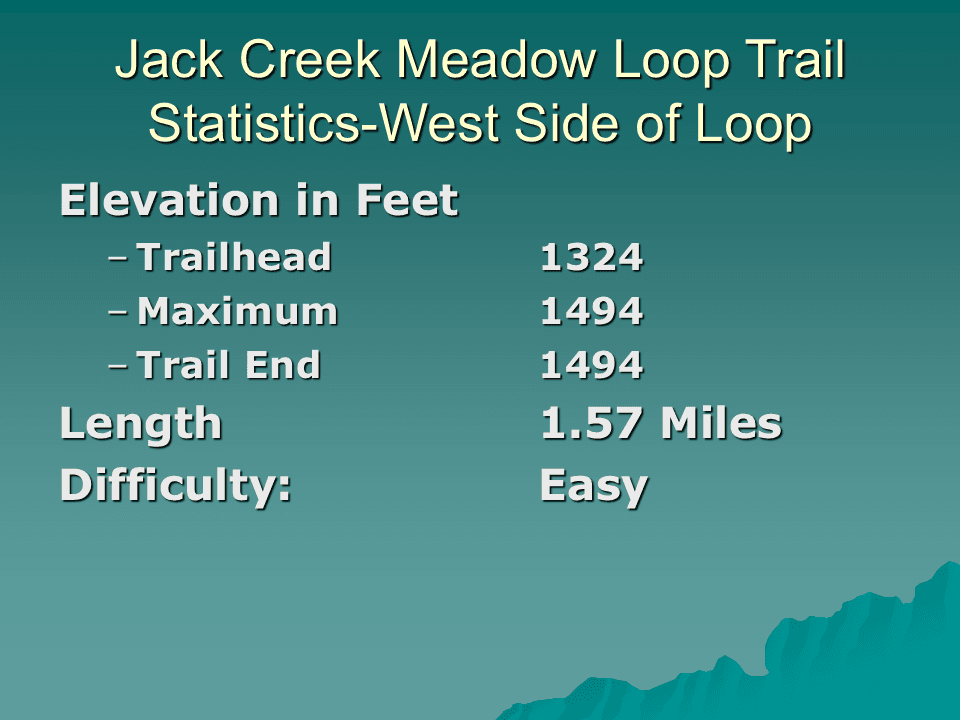
There is an elevation gain of 170 feet between the trailhead and the highest point along the trail. This, combined with the ease of walking the trail, gives the trail an “easy” rating in terms of difficulty.
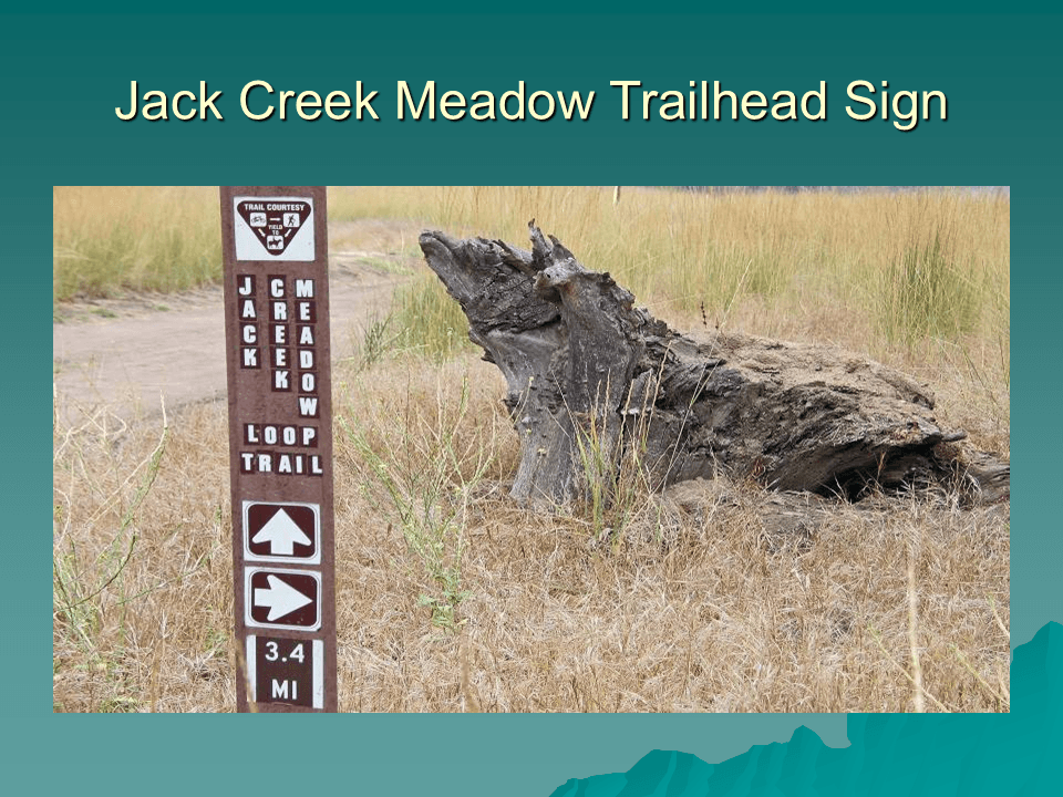
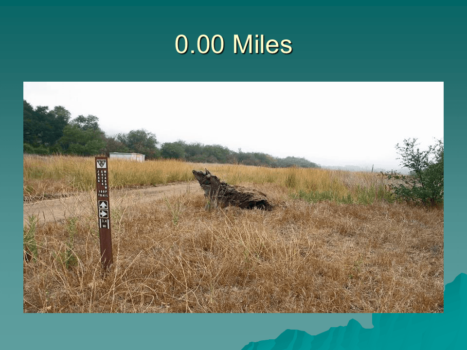
Getting to the Jack Creek Meadow Loop Trailhead involves a 1.18 mile hike on the Ranch House Trail. The trailhead for the latter is at the Daley Ranch parking lot at the La Honda Drive entrance to the park. The trailhead marker reads 3.40 miles for the entire loop. The trail goes north from the trailhead to the fence marking the boundary of the ranch.
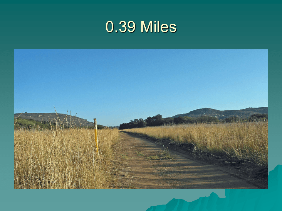
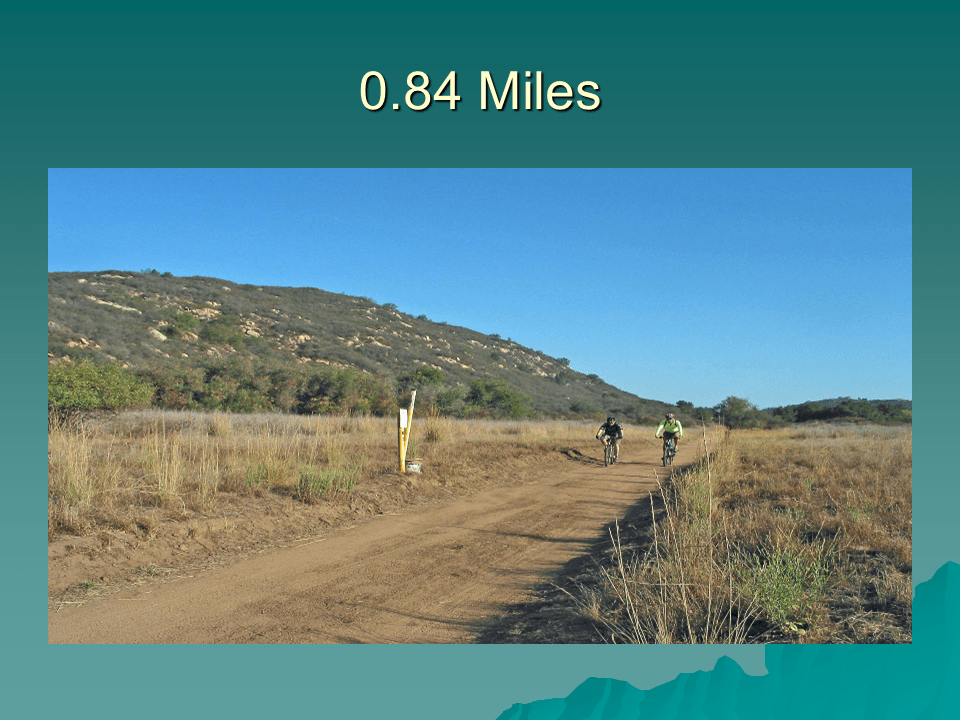
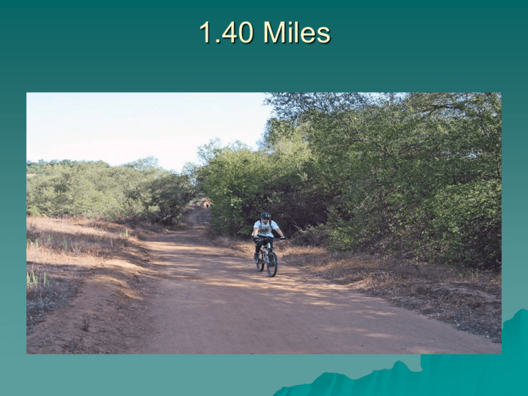
The trail is wide enough for the passage of trucks operated by the Park Rangers. This combined with the low elevation gain makes Jack Creek Meadow Loop an easy trail to hike.
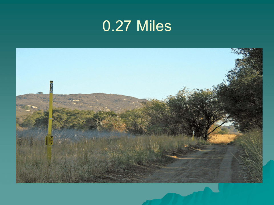
Shortly after leaving the trailhead, the trail passes through a short tunnel created by the canopy of two trees that merge over the trail. The yellow posts along the trail have been installed by the San Diego Gas and Electric Company to mark the route of a gas line through the Daley Ranch Preserve.
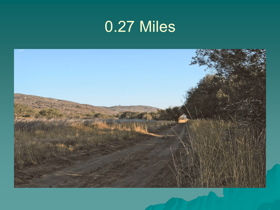
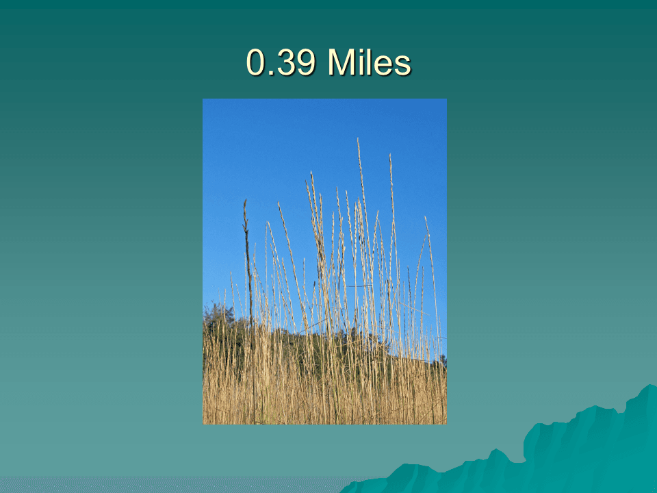
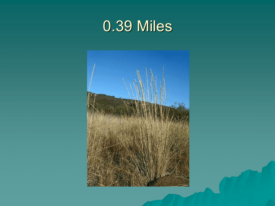
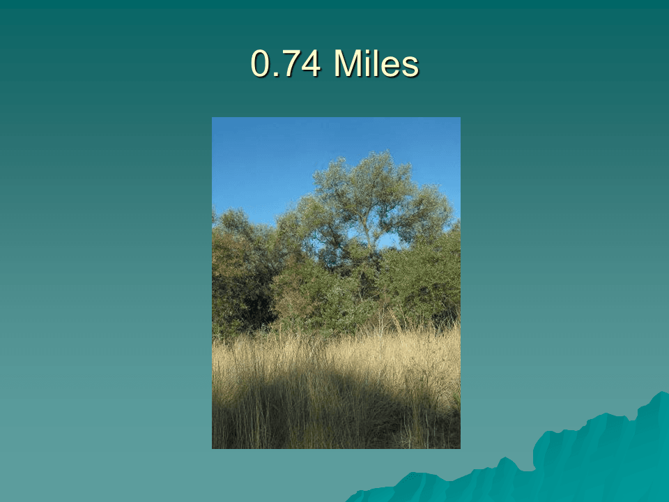
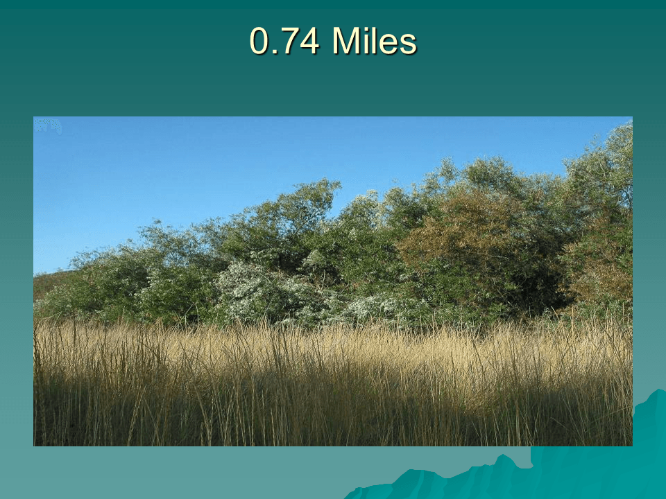
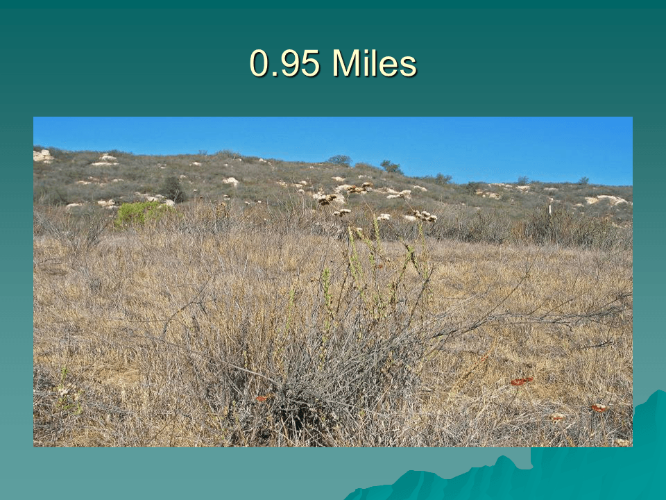
There are excellent views of Jack Creek Meadow to the east and west of the trail for the first half mile of the hike. Jack Creek, when there is adequate rain, flows through the meadow on the east side of the trail.
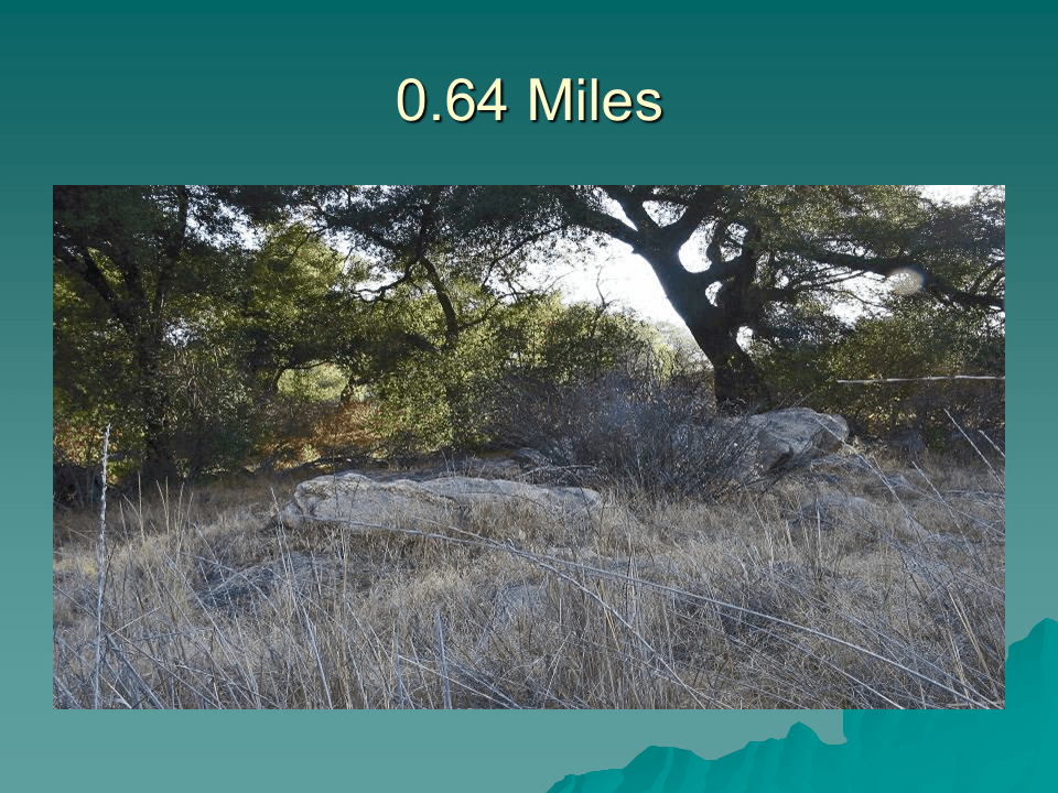
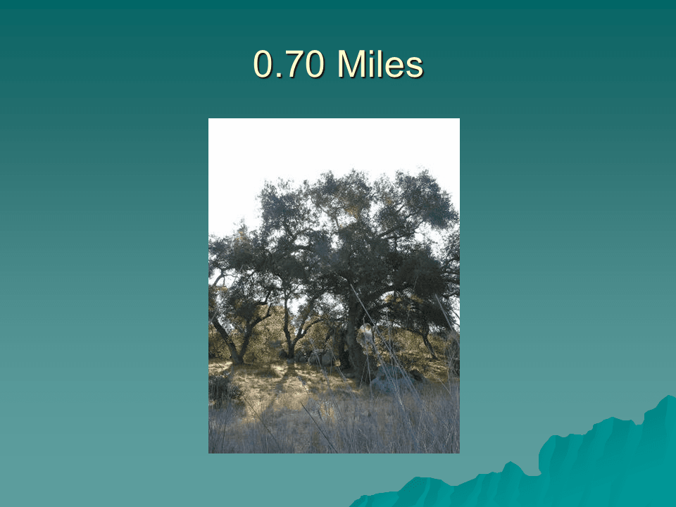
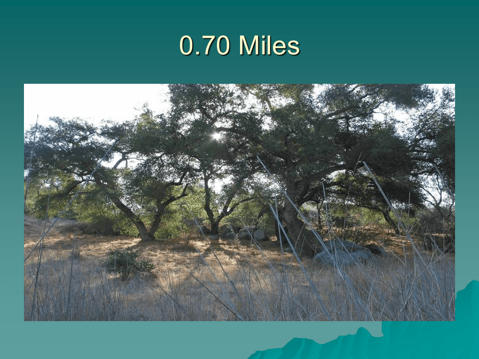
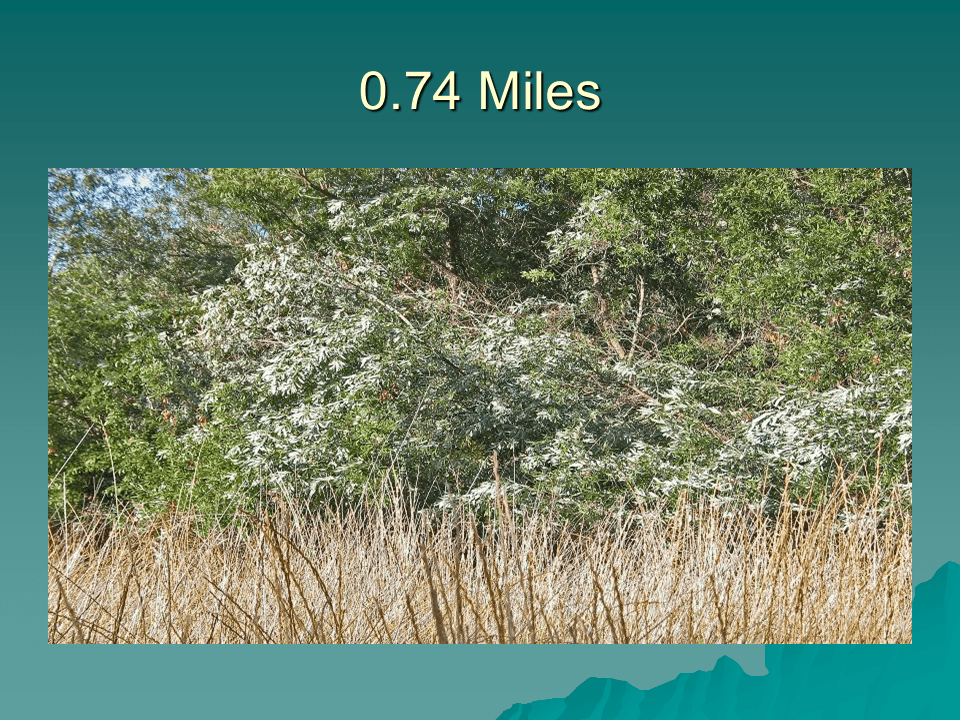
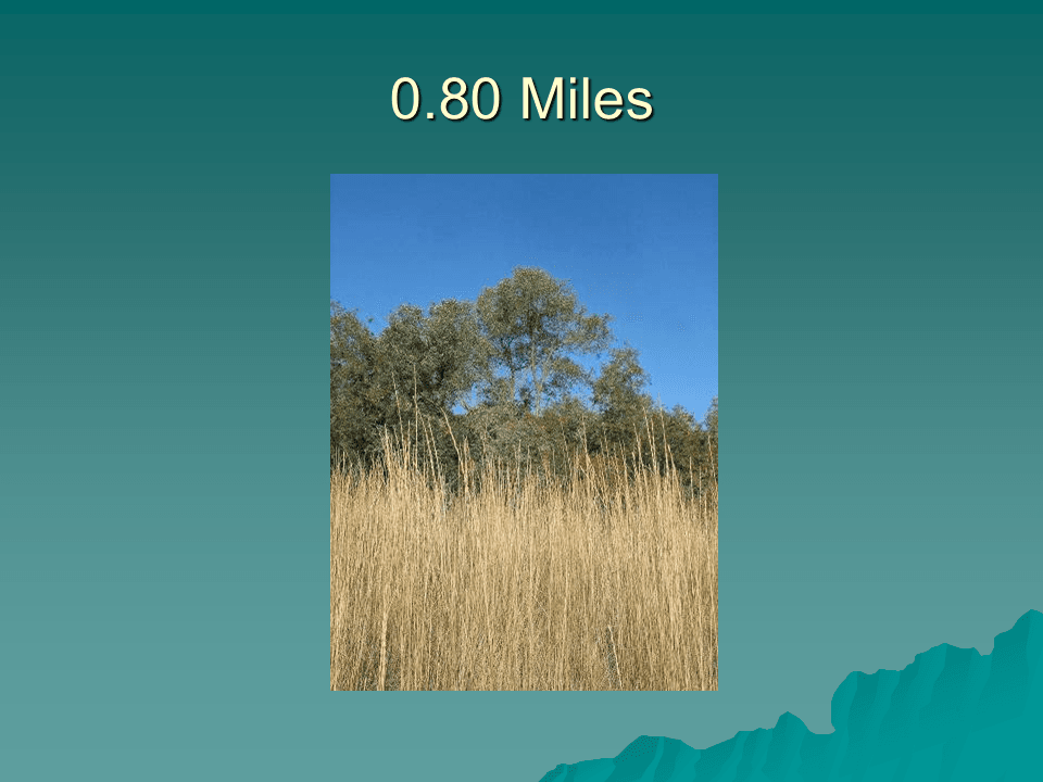
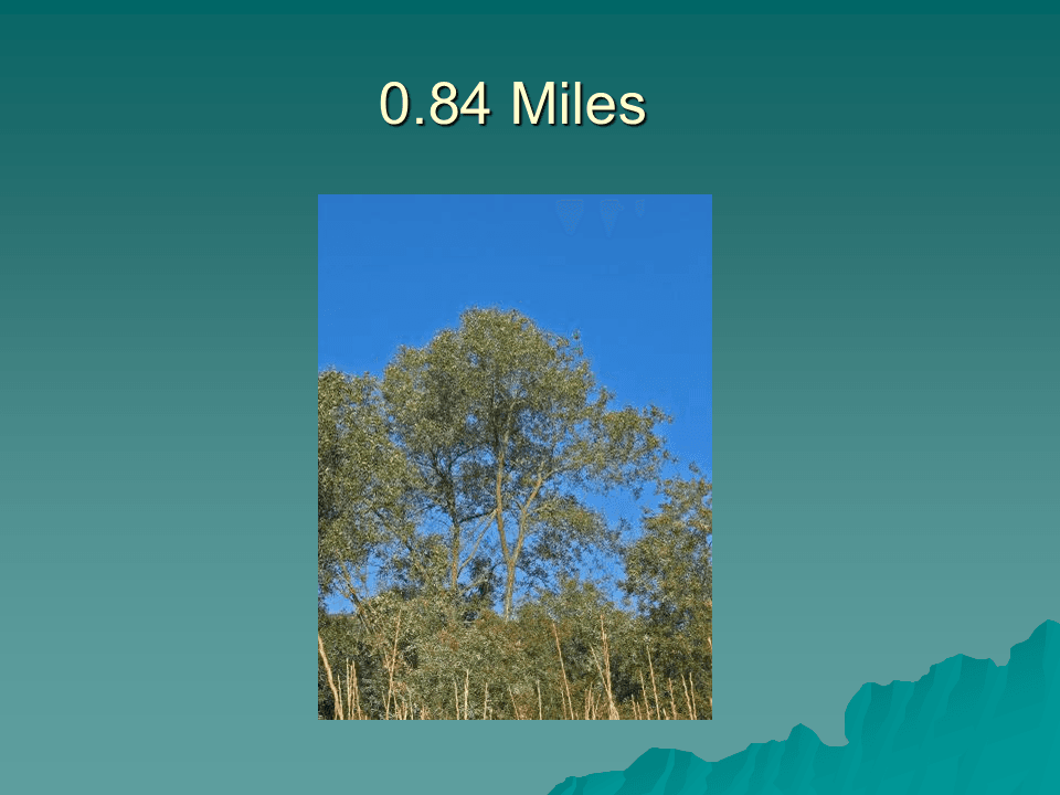
The meadow view gradually turns to views of trees along the east and west side of the trail. The low lying area that the trail traverses provides adequate moisture for there to be larger trees here than at other points on the ranch.
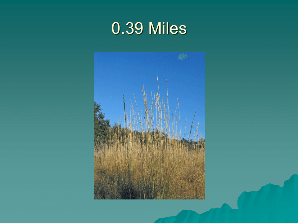
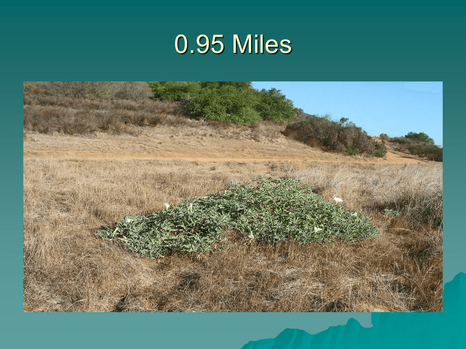
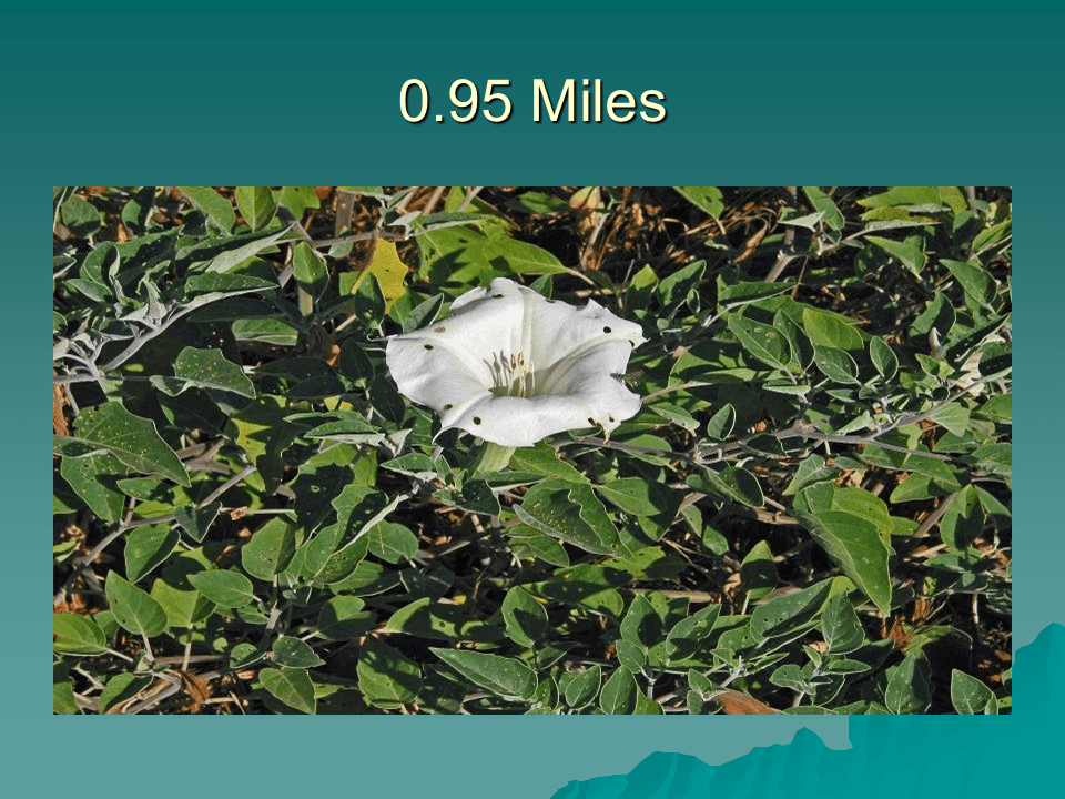
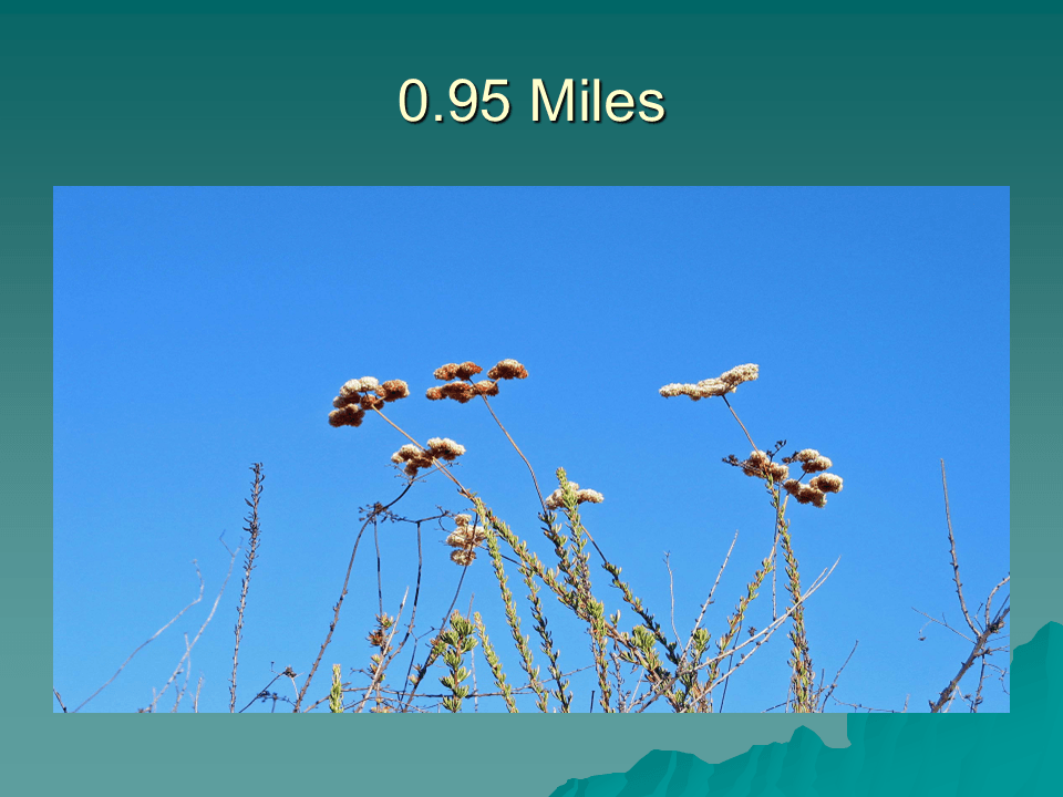
At points along the trail clumps of flowers are visible. In the summer months most flowers have passed their blooming phase, but, occasionally one glimpses a flower still in bloom.
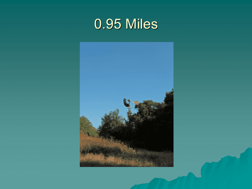
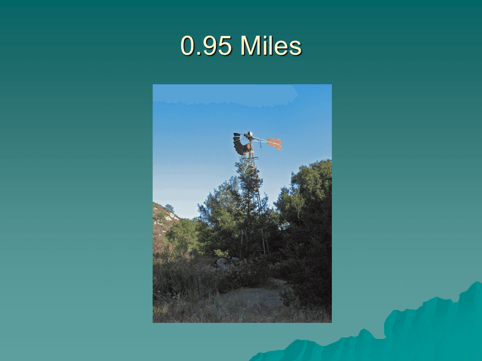
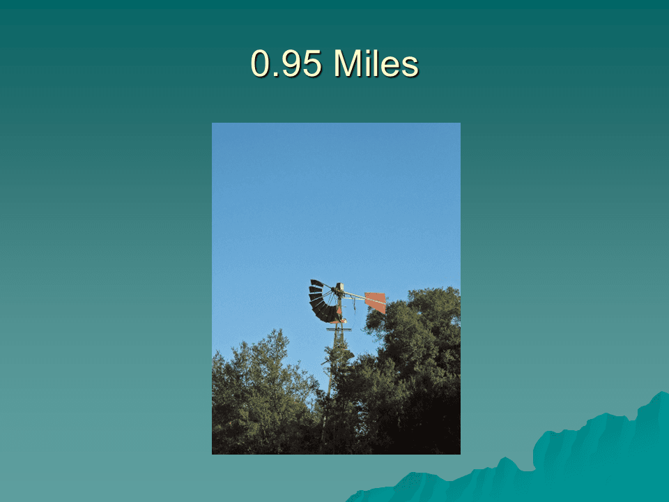
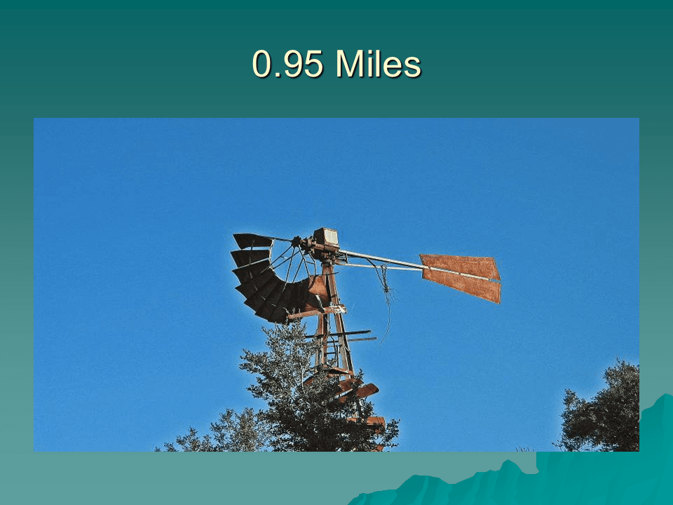
Approximately one mile from the trailhead is an old dilapidated windmill to the east of the trail. The fan, gearbox and vane of the windmill rise above the trees and signify that the ranch was once an operating entity.
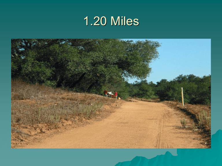
At approximately 1.20 miles from the trailhead a bench is provided for hikers to rest in the shade of a tree. On the day the photographs were taken the workers in red shirts were installing the bench.
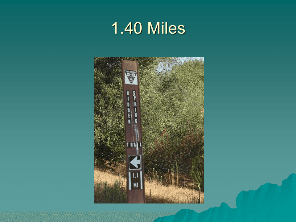
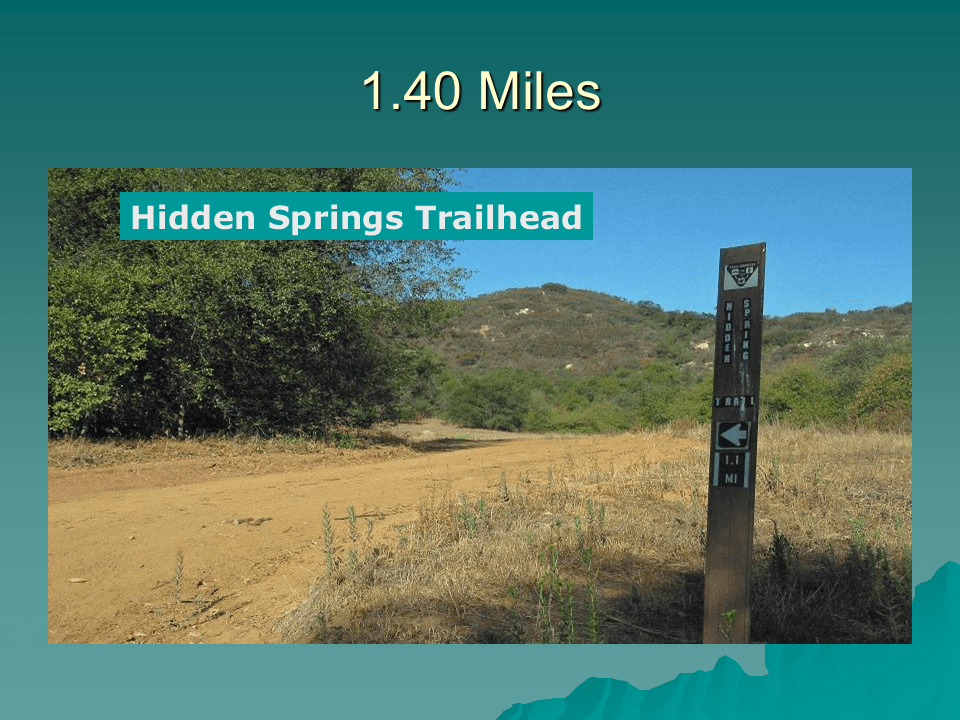
At 1.40 miles into the hike the Hidden Springs Trailhead sign is visible on the west side of the trail. The Hidden Springs Trail has a large elevation gain as it rises out of the low area containing Jack Creek and the Jack Creek Meadow.
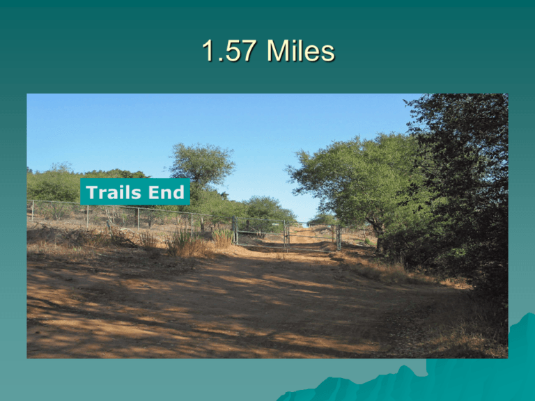
This metal gate across the road marks the boundary of the ranch.
The west side of the Jack Creek Meadow Loop Trail ends here, but the trail continues to the east across the stream bed of Jack Creek. The trail is aptly named because if one follows the trail it will loop back to the Jack Creek Meadows Loop Trailhead.
Text and Photos Copyright © 2009 William R. Sherrard. Used with permission